Hydrographic Survey
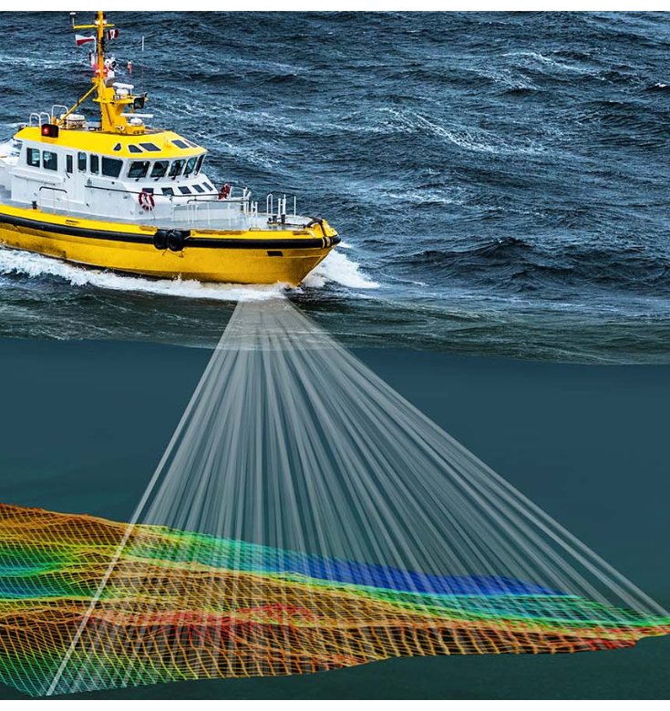
A hydrographic survey is a vital process in marine cartography that involves mapping and measuring the physical features of bodies of water. These surveys provide essential data to create accurate nautical charts, which are crucial for safe navigation, maritime trade, and coastal zone management.
Project Overview – Hydrographic Survey
Hydrographic surveyors use specialized equipment, such as multibeam echo sounders and side-scan sonars, to collect data on water depths, underwater terrain, and the distribution of natural and man-made objects on the seabed.
Our Services
The collected information allows us to create detailed and up-to-date charts, aiding mariners in avoiding hazards like underwater obstacles and shallow areas. Additionally, hydrographic surveys contribute to scientific research, environmental monitoring, and the exploration of marine habitats. Our role in ensuring navigational safety and supporting various marine activities makes hydrographic surveys indispensable for coastal nations and seafaring communities around the globe.